
Thank you for supporting this site ❤️
Make a donation
Make a donation
Sri Nanti topographic map
Click on the map to display elevation.
Thank you for supporting this site ❤️
Make a donation
Make a donation
About this map
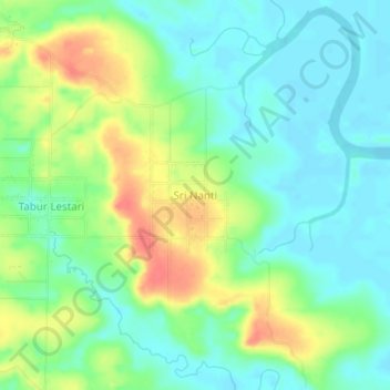
Name: Sri Nanti topographic map, elevation, terrain.
Location: Sri Nanti, Nunukan, North Kalimantan, Kalimantan, Indonesia (4.13623 117.25925 4.17623 117.29925)
Average elevation: 20 m
Minimum elevation: 0 m
Maximum elevation: 55 m
Thank you for supporting this site ❤️
Make a donation
Make a donation