
Kielce County topographic map
Interactive map
Click on the map to display elevation.
About this map
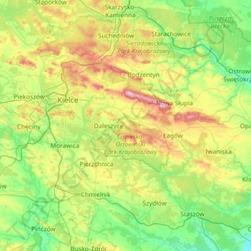
Name: Kielce County topographic map, elevation, terrain.
Location: Kielce County, Holy Cross Voivodeship, Poland (50.53648 20.09240 51.06666 21.17416)
Average elevation: 263 m
Minimum elevation: 153 m
Maximum elevation: 603 m