
Auburn Hills topographic map
Interactive map
Click on the map to display elevation.
About this map
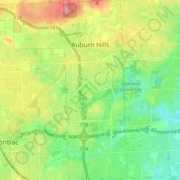
Name: Auburn Hills topographic map, elevation, terrain.
Location: Auburn Hills, Oakland County, Míchigan, Estados Unidos (42.61994 -83.32895 42.70953 -83.20922)
Average elevation: 284 m
Minimum elevation: 236 m
Maximum elevation: 366 m