
Niederhorn topographic map
Interactive map
Click on the map to display elevation.
About this map
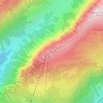
Name: Niederhorn topographic map, elevation, terrain.
Average elevation: 1,536 m
Minimum elevation: 1,045 m
Maximum elevation: 2,061 m
Other topographic maps
Click on a map to view its topography, its elevation and its terrain.
Lac de Thoune
Lac de Thoune, Seestrasse, Sigriswil, Verwaltungskreis Thun, Verwaltungsregion Oberland, Berne, 3654, Suisse
Average elevation: 899 m