
Geureudong topographic map
Click on the map to display elevation.
About this map
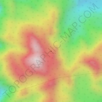
Name: Geureudong topographic map, elevation, terrain.
Location: Geureudong, Gajah Putih, Bener Meriah, Aceh, Indonesia (4.81295 96.81995 4.81305 96.82005)
Average elevation: 2,558 m
Minimum elevation: 2,207 m
Maximum elevation: 2,855 m