
Foto' topographic map
Interactive map
Click on the map to display elevation.
About this map
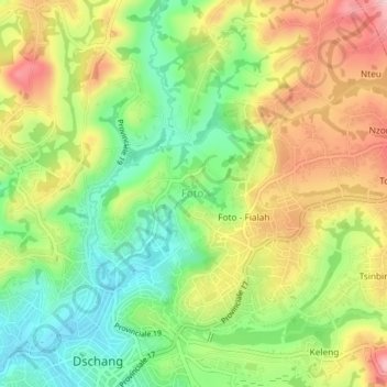
Name: Foto' topographic map, elevation, terrain.
Location: Foto', Dschang, Menoua, Région de l'Ouest, Cameroun (5.44434 10.04326 5.48434 10.08326)
Average elevation: 1,398 m
Minimum elevation: 1,301 m
Maximum elevation: 1,516 m