
Thank you for supporting this site ❤️
Make a donation
Make a donation
Monte Ferru topographic map
Click on the map to display elevation.
Thank you for supporting this site ❤️
Make a donation
Make a donation
About this map
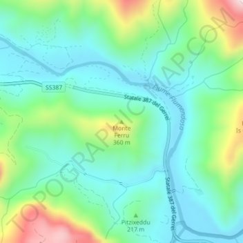
Name: Monte Ferru topographic map, elevation, terrain.
Location: Monte Ferru, Villasalto, Sud Sardegna, Sardegna, 09040, Italia (39.49918 9.44530 39.49928 9.44540)
Average elevation: 163 m
Minimum elevation: 32 m
Maximum elevation: 523 m
Thank you for supporting this site ❤️
Make a donation
Make a donation