
Tulhas topographic map
Interactive map
Click on the map to display elevation.
About this map
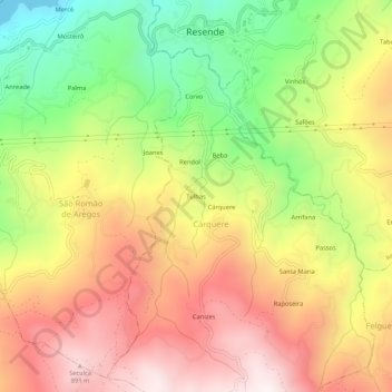
Name: Tulhas topographic map, elevation, terrain.
Location: Tulhas, Cárquere, Resende, Viseu, 4660-214, Portugal (41.06899 -7.98567 41.10899 -7.94567)
Average elevation: 508 m
Minimum elevation: 48 m
Maximum elevation: 927 m