
Lokoundjé topographic map
Interactive map
Click on the map to display elevation.
About this map
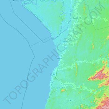
Name: Lokoundjé topographic map, elevation, terrain.
Location: Lokoundjé, Océan, Sud, Cameroun (2.63714 9.89284 3.59359 10.31600)
Average elevation: 124 m
Minimum elevation: -1 m
Maximum elevation: 1,057 m