
Crozier topographic map
Interactive map
Click on the map to display elevation.
About this map
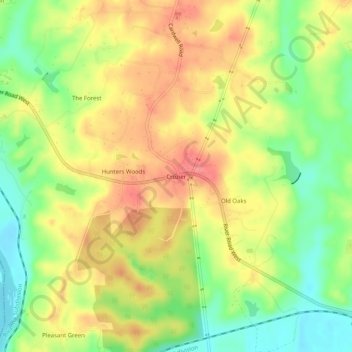
Name: Crozier topographic map, elevation, terrain.
Location: Crozier, Goochland County, Virginia, 23039, USA (37.61706 -77.81713 37.65706 -77.77713)
Average elevation: 76 m
Minimum elevation: 38 m
Maximum elevation: 110 m