
Tal Afar topographic map
Interactive map
Click on the map to display elevation.
About this map
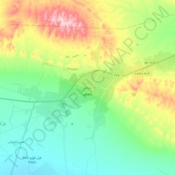
Name: Tal Afar topographic map, elevation, terrain.
Location: Tal Afar, Al Mnsul Qadha, Nineveh, 125, Iraq (36.33549 42.37211 36.42201 42.55018)
Average elevation: 403 m
Minimum elevation: 309 m
Maximum elevation: 602 m