
Matzendorf topographic map
Interactive map
Click on the map to display elevation.
About this map
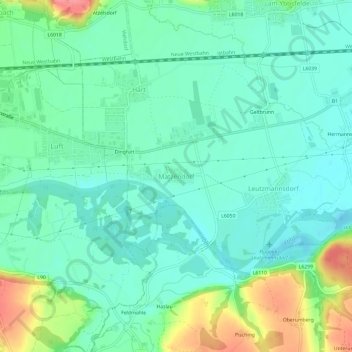
Name: Matzendorf topographic map, elevation, terrain.
Location: Matzendorf, Bezirk Amstetten, Basse-Autriche, 3304, Autriche (48.09033 14.91441 48.13033 14.95441)
Average elevation: 266 m
Minimum elevation: 243 m
Maximum elevation: 324 m