
Steg topographic map
Interactive map
Click on the map to display elevation.
About this map
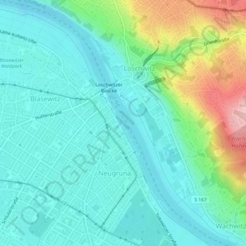
Name: Steg topographic map, elevation, terrain.
Location: Steg, Dresde, Saxe, 01277, Allemagne (51.04946 13.81259 51.04956 13.81269)
Average elevation: 143 m
Minimum elevation: 100 m
Maximum elevation: 275 m