
Rümikon topographic map
Interactive map
Click on the map to display elevation.
About this map
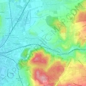
Name: Rümikon topographic map, elevation, terrain.
Location: Rümikon, Bezirk Winterthur, Zurich, 8409, Suisse (47.48323 8.76314 47.52323 8.80314)
Average elevation: 501 m
Minimum elevation: 450 m
Maximum elevation: 606 m