
Hexentanzplatz topographic map
Interactive map
Click on the map to display elevation.
About this map
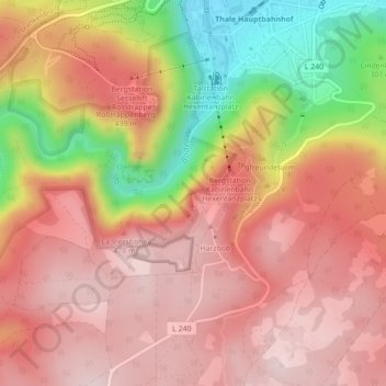
Name: Hexentanzplatz topographic map, elevation, terrain.
Average elevation: 378 m
Minimum elevation: 169 m
Maximum elevation: 491 m
De Hexentanzplatz is een plateau (hoogte 454m), hoog langs het Bodedal, tegenover de Rosstrappe in de Duitse deelstaat Saksen-Anhalt.
Other topographic maps
Click on a map to view its topography, its elevation and its terrain.
Thale
Duitsland > Saksen-Anhalt > Landkreis Harz > Thale > Thale
Thale, Landkreis Harz, Saksen-Anhalt, 06502, Duitsland
Average elevation: 259 m