
Thank you for supporting this site ❤️
Make a donation
Make a donation
Dovercourt topographic map
Click on the map to display elevation.
Thank you for supporting this site ❤️
Make a donation
Make a donation
About this map
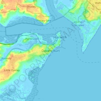
Name: Dovercourt topographic map, elevation, terrain.
Location: Dovercourt, Tendring, Essex, England, CO12 3RG, United Kingdom (51.89391 1.23766 51.97391 1.31766)
Average elevation: 4 m
Minimum elevation: -6 m
Maximum elevation: 28 m
Thank you for supporting this site ❤️
Make a donation
Make a donation