
Alert topographic map
Interactive map
Click on the map to display elevation.
About this map
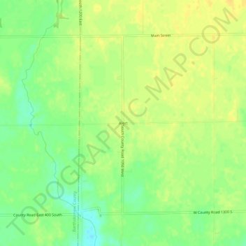
Name: Alert topographic map, elevation, terrain.
Location: Alert, Decatur County, Indiana, 47236, États-Unis d'Amérique (39.14033 -85.69831 39.18033 -85.65831)
Average elevation: 232 m
Minimum elevation: 217 m
Maximum elevation: 241 m