
Thank you for supporting this site ❤️
Make a donation
Make a donation
Elan Village topographic map
Click on the map to display elevation.
Thank you for supporting this site ❤️
Make a donation
Make a donation
About this map
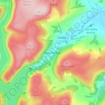
Name: Elan Village topographic map, elevation, terrain.
Location: Elan Village, Powys, Wales, LD6 5HW, United Kingdom (52.25411 -3.58338 52.29411 -3.54338)
Average elevation: 333 m
Minimum elevation: 187 m
Maximum elevation: 495 m
Thank you for supporting this site ❤️
Make a donation
Make a donation