
Dalton topographic map
Interactive map
Click on the map to display elevation.
About this map
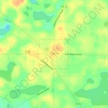
Name: Dalton topographic map, elevation, terrain.
Average elevation: 408 m
Minimum elevation: 387 m
Maximum elevation: 427 m
Other topographic maps
Click on a map to view its topography, its elevation and its terrain.
Bluffton
Vereinigte Staaten von Amerika > Minnesota > Otter Tail County
Bluffton, Otter Tail County, Minnesota, Vereinigte Staaten von Amerika
Average elevation: 412 m