
Brookside topographic map
Click on the map to display elevation.
About this map
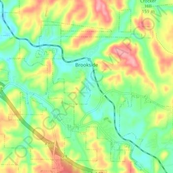
Name: Brookside topographic map, elevation, terrain.
Location: Brookside, Jefferson County, Alabama, United States (33.60368 -86.93643 33.65799 -86.86944)
Average elevation: 147 m
Minimum elevation: 101 m
Maximum elevation: 214 m