
Thank you for supporting this site ❤️
Make a donation
Make a donation
Kannur topographic map
Click on the map to display elevation.
Thank you for supporting this site ❤️
Make a donation
Make a donation
About this map
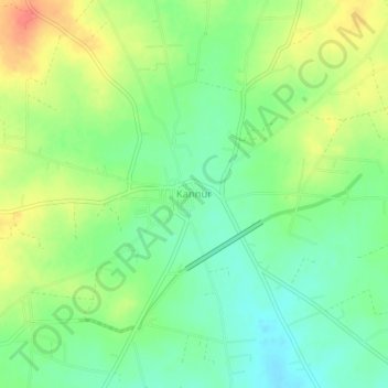
Name: Kannur topographic map, elevation, terrain.
Location: Kannur, Vijayapura taluk, Vijayapura, Karnataka, India (17.01235 75.68325 17.05235 75.72325)
Average elevation: 578 m
Minimum elevation: 555 m
Maximum elevation: 609 m
Thank you for supporting this site ❤️
Make a donation
Make a donation