
Thank you for supporting this site ❤️
Make a donation
Make a donation
Phichit topographic map
Click on the map to display elevation.
Thank you for supporting this site ❤️
Make a donation
Make a donation
About this map
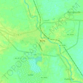
Name: Phichit topographic map, elevation, terrain.
Location: Phichit, Phichit Province, 66000, Thailand (16.40281 100.30382 16.48281 100.38382)
Average elevation: 37 m
Minimum elevation: 30 m
Maximum elevation: 43 m
Thank you for supporting this site ❤️
Make a donation
Make a donation