
Thank you for supporting this site ❤️
Make a donation
Make a donation
Gakoe topographic map
Click on the map to display elevation.
Thank you for supporting this site ❤️
Make a donation
Make a donation
About this map
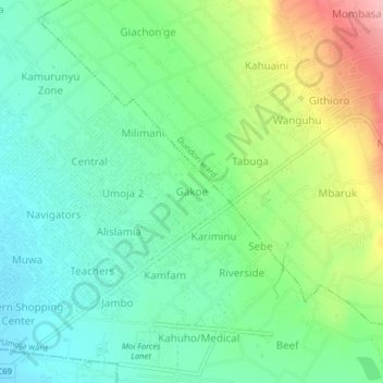
Name: Gakoe topographic map, elevation, terrain.
Location: Gakoe, Lanet/Umoja ward, Bahati, Nakuru, Kenya (-0.29124 36.15393 -0.25124 36.19393)
Average elevation: 1,955 m
Minimum elevation: 1,904 m
Maximum elevation: 2,062 m
Thank you for supporting this site ❤️
Make a donation
Make a donation