
Amaranth topographic map
Click on the map to display elevation.
About this map
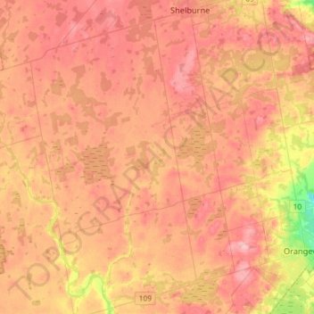
Name: Amaranth topographic map, elevation, terrain.
Location: Amaranth, Dufferin County, Central Ontario, Ontario, Canada (43.87745 -80.33701 44.08492 -80.13065)
Average elevation: 482 m
Minimum elevation: 398 m
Maximum elevation: 530 m
Other topographic maps
Click on a map to view its topography, its elevation and its terrain.