
Thank you for supporting this site ❤️
Make a donation
Make a donation
Chhatikara topographic map
Click on the map to display elevation.
Thank you for supporting this site ❤️
Make a donation
Make a donation
About this map
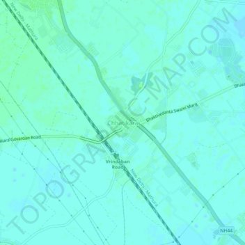
Name: Chhatikara topographic map, elevation, terrain.
Location: Chhatikara, Mathura, Uttar Pradesh, 281402, India (27.54098 77.60471 27.58098 77.64471)
Average elevation: 181 m
Minimum elevation: 178 m
Maximum elevation: 184 m
Thank you for supporting this site ❤️
Make a donation
Make a donation
Other topographic maps
Click on a map to view its topography, its elevation and its terrain.