
Thank you for supporting this site ❤️
Make a donation
Make a donation
Ice topographic map
Click on the map to display elevation.
Thank you for supporting this site ❤️
Make a donation
Make a donation
About this map
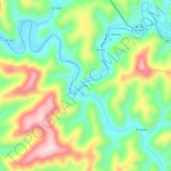
Name: Ice topographic map, elevation, terrain.
Location: Ice, Letcher County, Kentucky, 41858, United States (37.08760 -82.88016 37.12760 -82.84016)
Average elevation: 445 m
Minimum elevation: 327 m
Maximum elevation: 635 m
Thank you for supporting this site ❤️
Make a donation
Make a donation
Other topographic maps
Click on a map to view its topography, its elevation and its terrain.