
Tanguay topographic map
Click on the map to display elevation.
About this map
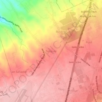
Name: Tanguay topographic map, elevation, terrain.
Location: Tanguay, Lipa, Batangas, Calabarzon, 4223, Philippines (13.95610 121.11875 13.99610 121.15875)
Average elevation: 334 m
Minimum elevation: 216 m
Maximum elevation: 377 m
Other topographic maps
Click on a map to view its topography, its elevation and its terrain.