
Thank you for supporting this site ❤️
Make a donation
Make a donation
Mengede topographic map
Click on the map to display elevation.
Thank you for supporting this site ❤️
Make a donation
Make a donation
About this map
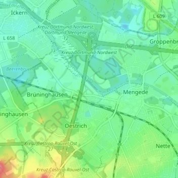
Name: Mengede topographic map, elevation, terrain.
Location: Mengede, Dortmund, Noordrijn-Westfalen, 44359, Duitsland (51.55916 7.33852 51.59072 7.40348)
Average elevation: 68 m
Minimum elevation: 49 m
Maximum elevation: 116 m
Thank you for supporting this site ❤️
Make a donation
Make a donation