
Thank you for supporting this site ❤️
Make a donation
Make a donation
Brookville topographic map
Click on the map to display elevation.
Thank you for supporting this site ❤️
Make a donation
Make a donation
About this map
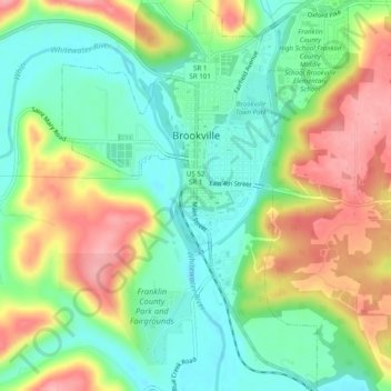
Name: Brookville topographic map, elevation, terrain.
Location: Brookville, Franklin County, Indiana, United States (39.39835 -85.02953 39.43613 -84.99371)
Average elevation: 228 m
Minimum elevation: 179 m
Maximum elevation: 297 m
Thank you for supporting this site ❤️
Make a donation
Make a donation
Other topographic maps
Click on a map to view its topography, its elevation and its terrain.