
Thank you for supporting this site ❤️
Make a donation
Make a donation
Isla Iguana topographic map
Click on the map to display elevation.
Thank you for supporting this site ❤️
Make a donation
Make a donation
About this map
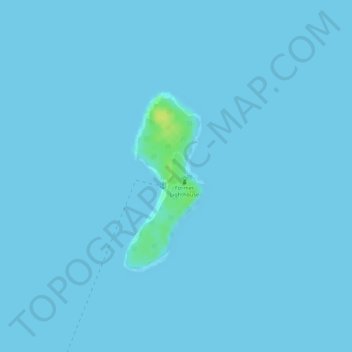
Name: Isla Iguana topographic map, elevation, terrain.
Location: Isla Iguana, Los Santos, Panamá (7.62874 -79.99858 7.62884 -79.99848)
Average elevation: 0 m
Minimum elevation: 0 m
Maximum elevation: 17 m
Thank you for supporting this site ❤️
Make a donation
Make a donation
Other topographic maps
Click on a map to view its topography, its elevation and its terrain.