
Thank you for supporting this site ❤️
Make a donation
Make a donation
Geesbrug topographic map
Click on the map to display elevation.
Thank you for supporting this site ❤️
Make a donation
Make a donation
About this map
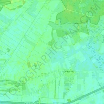
Name: Geesbrug topographic map, elevation, terrain.
Location: Geesbrug, Coevorden, Drenthe, Nederland (52.71242 6.57643 52.76292 6.65396)
Average elevation: 15 m
Minimum elevation: 11 m
Maximum elevation: 20 m
Thank you for supporting this site ❤️
Make a donation
Make a donation