
Ornäs topographic map
Interactive map
Click on the map to display elevation.
About this map
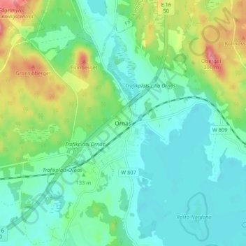
Name: Ornäs topographic map, elevation, terrain.
Location: Ornäs, Borlänge kommun, Comté de Dalécarlie, 78477, Suède (60.49013 15.51858 60.53013 15.55858)
Average elevation: 130 m
Minimum elevation: 103 m
Maximum elevation: 199 m