
Thank you for supporting this site ❤️
Make a donation
Make a donation
Carlentini topographic map
Click on the map to display elevation.
Thank you for supporting this site ❤️
Make a donation
Make a donation
About this map
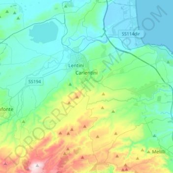
Name: Carlentini topographic map, elevation, terrain.
Location: Carlentini, Siracusa, Sicily, 96013, Italy (37.15217 14.91131 37.36498 15.09312)
Average elevation: 188 m
Minimum elevation: -2 m
Maximum elevation: 864 m
Thank you for supporting this site ❤️
Make a donation
Make a donation