
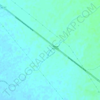
La Leche topographic map
Interactive map
Click on the map to display elevation.
About this map
Name: La Leche topographic map, elevation, terrain.
Location: La Leche, Mórrope, Lambayeque, Pérou (-6.51610 -80.05839 -6.51181 -80.05446)
Average elevation: 14 m
Minimum elevation: 11 m
Maximum elevation: 18 m