
Make a donation
Alyeska topographic map
Click on the map to display elevation.
Make a donation
Alyeska
Alyeska has a subarctic climate (Köppen: Dfc), with short but mild summers and long, snowy winters. Snowfall is extremely heavy, owing to the Aleutian Low, with an average year getting 209 inches (530 cm) of snow at the base (elevation 250 feet above sea level) and an average exceeding 650 inches (17 meters) at the top of the Glacier Bowl Express (GBX) chairlift. The record annual snowfall measured at the top of the GBX is 939 inches (23.9 meters) during the 2000–01 season. Precipitation in general is heavy, but is considerably less from late spring to mid- summer. A freeze has been recorded for every month of the year.
Make a donation
About this map
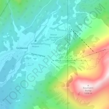
Name: Alyeska topographic map, elevation, terrain.
Location: Alyeska, Girdwood, Anchorage, Alaska, 99523, United States (60.94082 -149.12912 60.98082 -149.08912)
Average elevation: 256 m
Minimum elevation: 12 m
Maximum elevation: 1,009 m
Make a donation