
Silly topographic map
Interactive map
Click on the map to display elevation.
About this map
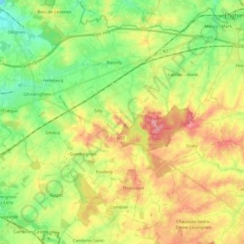
Name: Silly topographic map, elevation, terrain.
Location: Silly, Ath, Hennegau, Wallonien, 7830, Belgien (50.59024 3.87654 50.69550 4.06675)
Average elevation: 66 m
Minimum elevation: 20 m
Maximum elevation: 129 m