
Thank you for supporting this site ❤️
Make a donation
Make a donation
Al Hayla' topographic map
Click on the map to display elevation.
Thank you for supporting this site ❤️
Make a donation
Make a donation
About this map
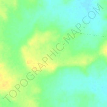
Name: Al Hayla' topographic map, elevation, terrain.
Location: Al Hayla', Baqa, Ḥa'il Province, Saudi Arabia (27.80669 42.69004 27.82669 42.71004)
Average elevation: 733 m
Minimum elevation: 722 m
Maximum elevation: 744 m
Thank you for supporting this site ❤️
Make a donation
Make a donation
Other topographic maps
Click on a map to view its topography, its elevation and its terrain.