
Puthalapattu topographic map
Click on the map to display elevation.
About this map
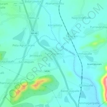
Name: Puthalapattu topographic map, elevation, terrain.
Location: Puthalapattu, Chittoor, Andhra Pradesh, 517124, India (13.32630 79.07363 13.36630 79.11363)
Average elevation: 327 m
Minimum elevation: 301 m
Maximum elevation: 462 m