
Bellaire topographic map
Interactive map
Click on the map to display elevation.
About this map
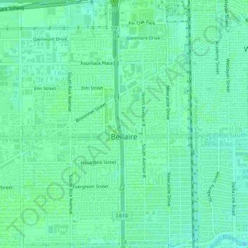
Name: Bellaire topographic map, elevation, terrain.
Location: Bellaire, Harris County, Texas, États-Unis d'Amérique (29.68940 -95.48445 29.72589 -95.44722)
Average elevation: 20 m
Minimum elevation: 15 m
Maximum elevation: 22 m
Other topographic maps
Click on a map to view its topography, its elevation and its terrain.
Yellowstone Park
États-Unis d'Amérique > Texas > Harris County > Houston
Yellowstone Park, Houston, Harris County, Texas, États-Unis d'Amérique
Average elevation: 15 m