
Thank you for supporting this site ❤️
Make a donation
Make a donation
Molenveld topographic map
Click on the map to display elevation.
Thank you for supporting this site ❤️
Make a donation
Make a donation
About this map
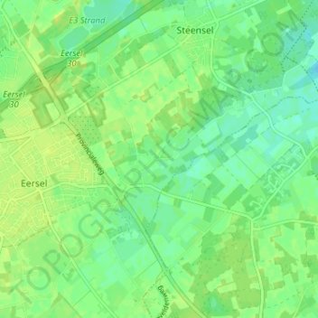
Name: Molenveld topographic map, elevation, terrain.
Location: Molenveld, Eersel, Noord-Brabant, Nederland, 5521 NR, Nederland (51.34164 5.32544 51.38164 5.36544)
Average elevation: 29 m
Minimum elevation: 20 m
Maximum elevation: 36 m
Thank you for supporting this site ❤️
Make a donation
Make a donation