
Thank you for supporting this site ❤️
Make a donation
Make a donation
Me Sang topographic map
Click on the map to display elevation.
Thank you for supporting this site ❤️
Make a donation
Make a donation
About this map
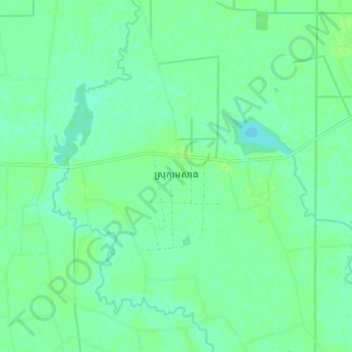
Name: Me Sang topographic map, elevation, terrain.
Location: Me Sang, Prey Veng, Cambodia (11.28470 105.53664 11.36470 105.61664)
Average elevation: 9 m
Minimum elevation: 4 m
Maximum elevation: 14 m
Thank you for supporting this site ❤️
Make a donation
Make a donation
Other topographic maps
Click on a map to view its topography, its elevation and its terrain.