
Thank you for supporting this site ❤️
Make a donation
Make a donation
Huai'an County topographic map
Click on the map to display elevation.
Thank you for supporting this site ❤️
Make a donation
Make a donation
About this map
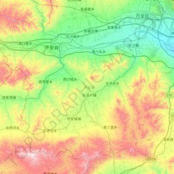
Name: Huai'an County topographic map, elevation, terrain.
Location: Huai'an County, Zhangjiakou, Hebei, China (40.34205 114.13869 40.76864 114.81294)
Average elevation: 1,103 m
Minimum elevation: 647 m
Maximum elevation: 2,028 m
Thank you for supporting this site ❤️
Make a donation
Make a donation
Other topographic maps
Click on a map to view its topography, its elevation and its terrain.