
Les Ecourelles topographic map
Interactive map
Click on the map to display elevation.
About this map
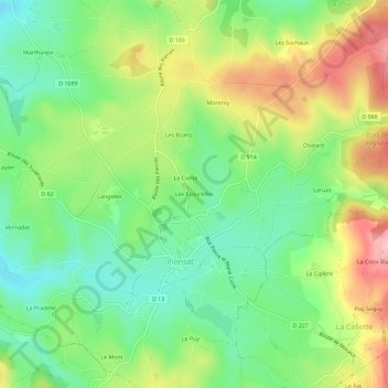
Name: Les Ecourelles topographic map, elevation, terrain.
Average elevation: 563 m
Minimum elevation: 502 m
Maximum elevation: 653 m
Other topographic maps
Click on a map to view its topography, its elevation and its terrain.
Laroche
France > Auvergne-Rhône-Alpes > Puy-de-Dôme > Pionsat > Laroche
Laroche, Pionsat, Riom, Puy-de-Dôme, Auvergne-Rhône-Alpes, France métropolitaine, 63330, France
Average elevation: 546 m