
Schiefling topographic map
Interactive map
Click on the map to display elevation.
About this map
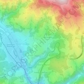
Name: Schiefling topographic map, elevation, terrain.
Average elevation: 849 m
Minimum elevation: 627 m
Maximum elevation: 1,268 m
Other topographic maps
Click on a map to view its topography, its elevation and its terrain.
Schönberg
Österreich > Kärnten > Bezirk Wolfsberg > Bad Sankt Leonhard im Lavanttal > Schönberg
Schönberg, Bad Sankt Leonhard im Lavanttal, Bezirk Wolfsberg, Kärnten, 9441, Österreich
Average elevation: 1,033 m