
Thank you for supporting this site ❤️
Make a donation
Make a donation
Clear Lake topographic map
Click on the map to display elevation.
Thank you for supporting this site ❤️
Make a donation
Make a donation
About this map
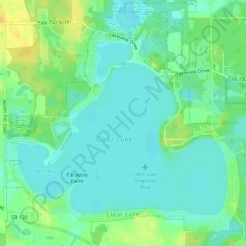
Name: Clear Lake topographic map, elevation, terrain.
Location: Clear Lake, Steuben County, Indiana, United States (41.72632 -84.85981 41.75539 -84.82014)
Average elevation: 321 m
Minimum elevation: 312 m
Maximum elevation: 338 m
Thank you for supporting this site ❤️
Make a donation
Make a donation
Other topographic maps
Click on a map to view its topography, its elevation and its terrain.