
Thank you for supporting this site ❤️
Make a donation
Make a donation
Nawampiti topographic map
Click on the map to display elevation.
Thank you for supporting this site ❤️
Make a donation
Make a donation
About this map
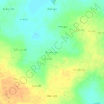
Name: Nawampiti topographic map, elevation, terrain.
Location: Nawampiti, Kaliro, Eastern Region, Uganda (1.18000 33.41333 1.22000 33.45333)
Average elevation: 1,047 m
Minimum elevation: 1,031 m
Maximum elevation: 1,065 m
Thank you for supporting this site ❤️
Make a donation
Make a donation