
Thank you for supporting this site ❤️
Make a donation
Make a donation
Etchilhampton topographic map
Click on the map to display elevation.
Thank you for supporting this site ❤️
Make a donation
Make a donation
About this map
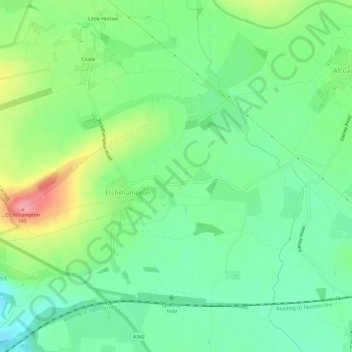
Name: Etchilhampton topographic map, elevation, terrain.
Location: Etchilhampton, Wiltshire, England, United Kingdom (51.33560 -1.96704 51.35206 -1.90733)
Average elevation: 121 m
Minimum elevation: 85 m
Maximum elevation: 190 m
Thank you for supporting this site ❤️
Make a donation
Make a donation