
Thank you for supporting this site ❤️
Make a donation
Make a donation
LOTONG ULU topographic map
Click on the map to display elevation.
Thank you for supporting this site ❤️
Make a donation
Make a donation
About this map
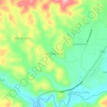
Name: LOTONG ULU topographic map, elevation, terrain.
Location: LOTONG ULU, Tambunan, Interior Division, Sabah, Malaysia (5.61050 116.29635 5.65050 116.33635)
Average elevation: 563 m
Minimum elevation: 484 m
Maximum elevation: 696 m
Thank you for supporting this site ❤️
Make a donation
Make a donation