
Thank you for supporting this site ❤️
Make a donation
Make a donation
Carbide topographic map
Click on the map to display elevation.
Thank you for supporting this site ❤️
Make a donation
Make a donation
About this map
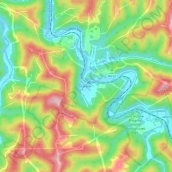
Name: Carbide topographic map, elevation, terrain.
Location: Carbide, Wetzel County, West Virginia, 26419, United States (39.51953 -80.68676 39.55953 -80.64676)
Average elevation: 310 m
Minimum elevation: 211 m
Maximum elevation: 441 m
Thank you for supporting this site ❤️
Make a donation
Make a donation
Other topographic maps
Click on a map to view its topography, its elevation and its terrain.