
Thank you for supporting this site ❤️
Make a donation
Make a donation
石螺潭 topographic map
Click on the map to display elevation.
Thank you for supporting this site ❤️
Make a donation
Make a donation
About this map
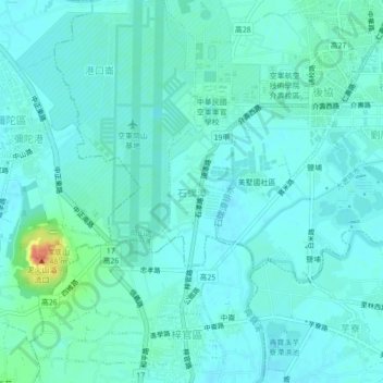
Name: 石螺潭 topographic map, elevation, terrain.
Location: 石螺潭, Kaohsiung, 820008, Taiwan (22.75526 120.24790 22.79526 120.28790)
Average elevation: 10 m
Minimum elevation: 1 m
Maximum elevation: 52 m
Thank you for supporting this site ❤️
Make a donation
Make a donation
Other topographic maps
Click on a map to view its topography, its elevation and its terrain.